
Scenic Driving Routes in United Arab Emirates
The United Arab Emirates provides a unique environment for road trips, characterized by an abrupt transition from low-lying coastal plains to vast desert dunes and steep, rocky highlands. Driving here means moving along multi-lane highways that cut directly through arid interior basins before climbing into rugged mountain terrain. The country's infrastructure allows drivers to experience complete shifts in terrain, moving from flat salt pans to high-altitude ridge roads within a single afternoon.
Map of scenic routes in United Arab Emirates
Click on a route line to open its detailed page
Historical context of United Arab Emirates
Before the mid-twentieth century, transport corridors were determined by seasonal migration and maritime trade, with settlements concentrated around coastal ports and inland freshwater oases. The discovery of oil led to rapid economic restructuring, shifting focus from camel tracks to engineered tarmac. To unify the separate emirates, the government built cross-country highways through the empty desert and carved routes into the eastern mountains, turning ancient trade paths into heavily engineered corridors that modern drivers use to transit between regional hubs.
Geography of United Arab Emirates
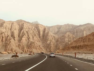
The flat Arabian Gulf coast transitions into the Rub' al Khali desert, where massive sand formations dictate the straight path of southern highways. In the east, the limestone Hajar Mountains rise steeply, creating a physical barrier that historically separated the coast from the interior. Roads in this mountain zone must follow natural wadi channels and riverbeds, resulting in winding routes with sharp changes in altitude, where engineers had to cut directly into solid rock to establish drivable passes.
Road conditions in United Arab Emirates
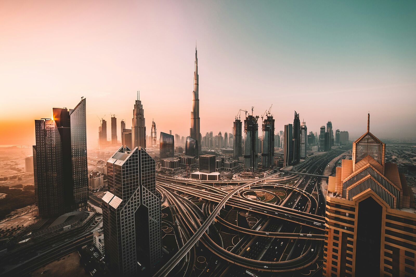
The driving experience features highly engineered highways with extensive illumination and multiple lanes, even when passing through remote desert regions. In flat areas, the road network consists of straight, predictable surfaces with highly dense service infrastructure, including frequent fueling stations. As routes enter the eastern mountains, the character shifts to steep gradients and technical switchbacks, where the tarmac interacts closely with rock faces and requires drivers to manage frequent elevation changes.

Scenic routes in United Arab Emirates
Interesting facts about United Arab Emirates
- Desert highways are engineered with specific barriers and continuous clearing operations to prevent shifting sand dunes from blocking traffic.
- Mountain roads were constructed by cutting paths directly into limestone, providing vehicle access to previously isolated border villages.
- The primary highway network was intentionally built to link ancient coastal ports with interior agricultural oasis settlements.
Why take a road trip in United Arab Emirates?
Driving through United Arab Emirates is one of the best ways to experience its landscapes. Many of the most beautiful places are not accessible by public transport, which makes road trips the most flexible and rewarding way to explore.
The real value is not just in destinations, but in the journey itself — long empty roads, unexpected viewpoints, and small stops that don’t appear in guidebooks.
FAQ about scenic driving in United Arab Emirates
What is the best scenic drive in United Arab Emirates?
It depends on the region, but mountain and coastal routes are usually the most popular.
When is the best time to visit?
Spring to early autumn is generally the best season for road trips.
Are these routes beginner-friendly?
Many routes are easy to drive, but mountain roads may require more attention.